CM 77 Vintage Maps Of The World
77 quality images of old world map 5681 MB | JPG & PNG format
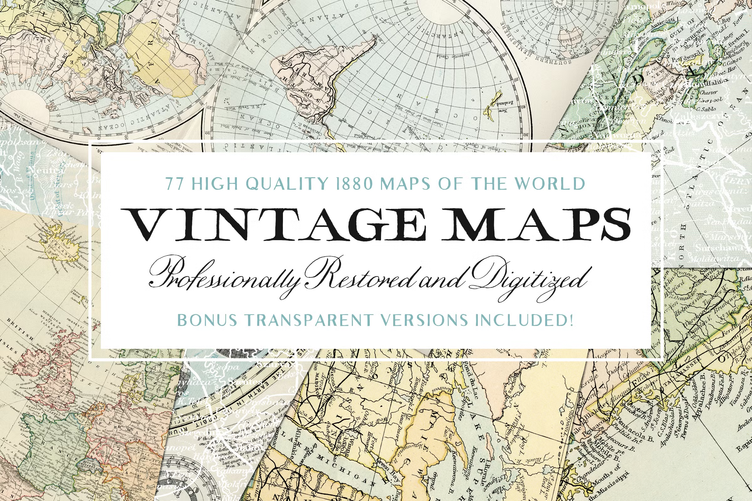
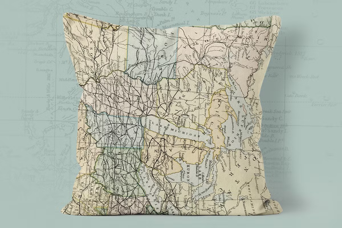
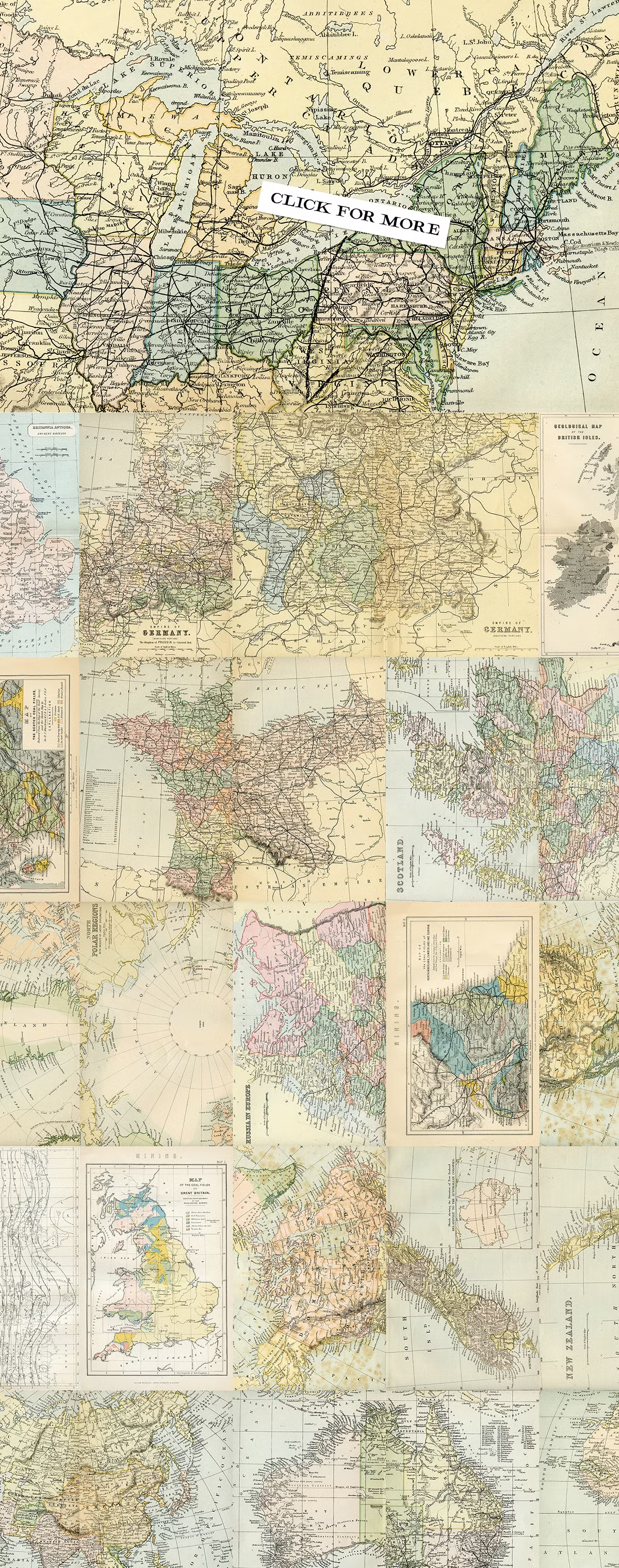
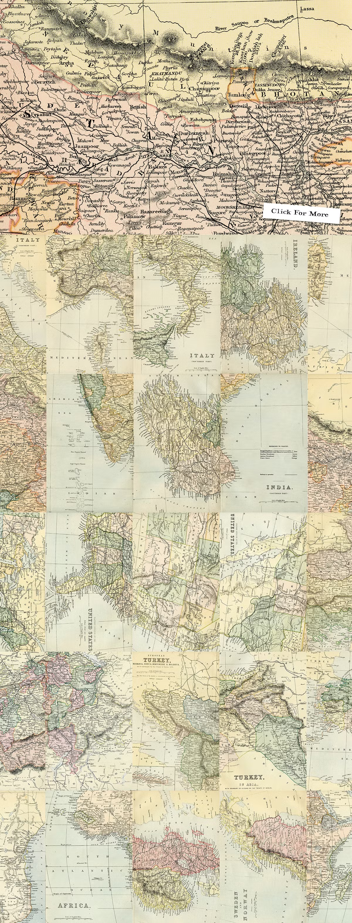
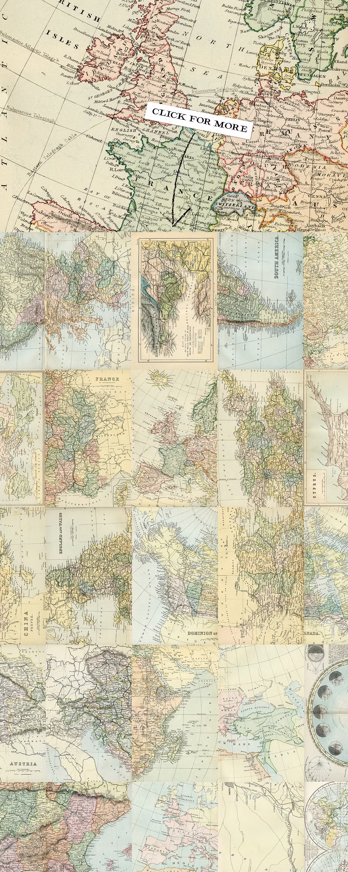
In this collection, you can see 77 quality images of old maps of the world and different countries, which have been placed on the site for download in PNG and JPG formats.
Introducing our Extensive, High Quality, and Rare Collection of Vintage Maps.
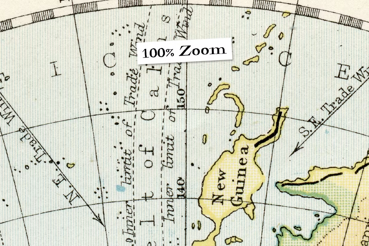
Each image was sourced from an array of encyclopedias that were published in the late 1800’s. Scanned at a whopping 1200dpi, every map has as much detail as possible squeezed in.
The Areas Covered; Africa, Asia, Australia, Sweden, Norway, Switzerland, Turkey, United States, Great Britain, New Zealand, North Polar, Russia, Spain, Portugal, Austria, Canada, China, Cyprus, Europe, France, 1 Full Globe Map, The Roman Empire, Germany, India, Ireland, Italy, and some miscellaneous maps; The Seasons, Suez Canal, Isothermal Lines of the Globe, Various Mining Areas in the UK, and more.
What’s Inside?
- 77 High Resolution JPG images (Vast majority = 6188px x 9875px)
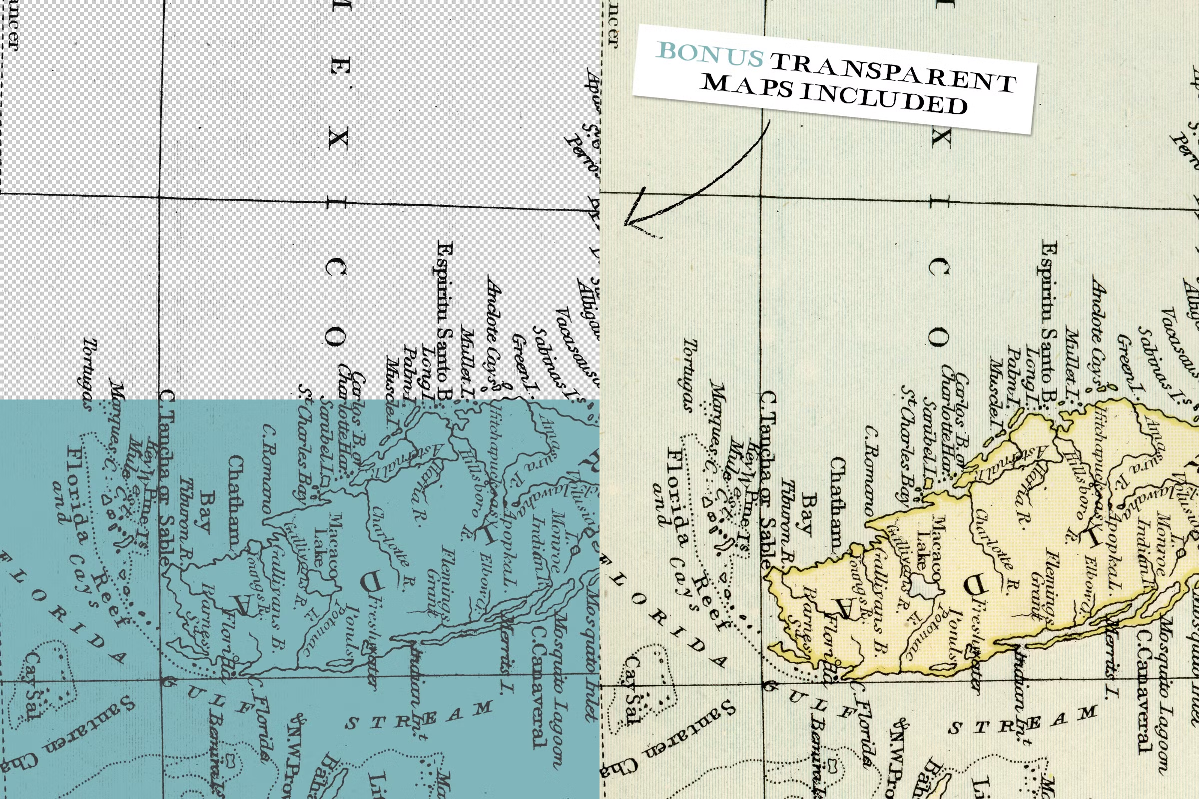
- BONUS! 77 Perfectly Transparent PNG Images (Maps without Backgrounds)



Reviews
There are no reviews yet.